Iceland is among the most dynamic geological settings in the world and a spectacular outdoor classroom. The Island nation straddles the boundary between two of the Earth's massive crustal plates, which are spreading apart at a rate of two centimeters per year. Known as the Mid-Atlantic Ridge, most of this extensive plate boundary lies on the deep ocean floor.
In contrast, Iceland has been greatly elevated above the surrounding sea floor by the heat and eruptions emanating from a source of magma deep in the Earth’s interior. The relentless activity of this “hot spot,” combined with its location near the Arctic Circle result in a rare combination of fire and ice: Iceland’s numerous volcanoes that often are capped by massive glaciers. This unique setting also results in a vast amount of clean, renewable energy.
Most Earth scientists will tell you that they learn best by making direct observations in the field. Naturally, as faculty, we strive to provide as many field experiences for ourstudents as possible. With this in mind, Camille George from the School of Engineering and I developed and led an interdisciplinary trip to Iceland during spring break 2008.
Thirteen geology and engineering students from St. Thomas prepared for the trip by participating in weekly sessions that introduced them to the geologic setting and geoengineering projects in Iceland. Students raised a number of practical concerns as we prepared for the trip. Would they need to speak Icelandic? Would they see puffins? What would the weather be like? The students were happy to learn that Icelanders speak excellent English, and a bit disappointed to hear that it would not be puffin season. Giving them a good prediction of the weather was not such a simple matter. Like Minnesota, Iceland is subject to rapid and dramatic weather changes. It never reaches the bitter below-zero temperatures of Minnesota in January, but the winds can be fierce and rain can last for days.
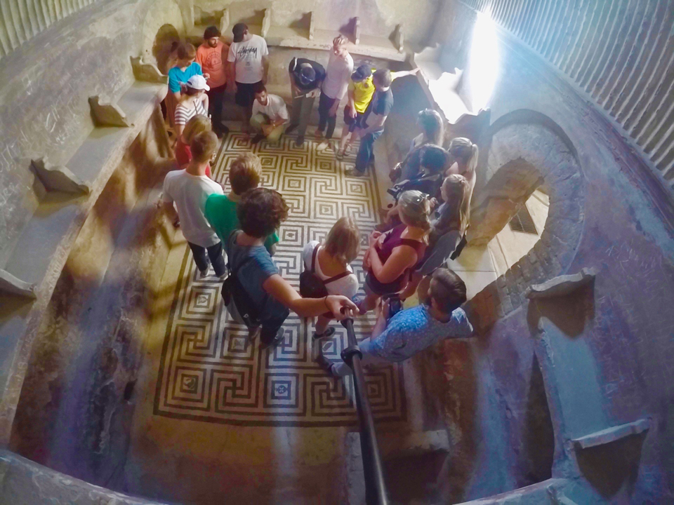
When we arrived in Iceland, we followed the coastal road to Reykjavík through fields of dark-colored basalts, remnants of ancient lava flows now covered in snow. Early the next morning we embarked on a two-day visit to Heimaey, one of a chain of islands of Vestmannaeyjar, so named for the “West men” of Ireland who, along with the Scandinavians, were among the earliest inhabitants of Iceland. Here, we climbed on the still-smoldering crater of Eldfell, which famously erupted for five months in 1973, adding 15 percent to the area of the small island and forcing a temporary evacuation as determined Icelanders cooled the lava with sea water. These islands represent some of the geologically youngest and most-active parts of the country. From Heimaey, we viewed nearby Surtsey, which emerged from the ocean in an explosive display in 1965.
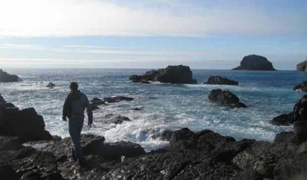
Several of the students on the trip were enrolled in my oceanography course and were curious about marine processes and environmental considerations that are largely foreign in landlocked Minnesota. Near the southern town of Vík, we investigated beach processes on a black volcanic sand beach as big waves pounded the shore, and later marveled at spectacular columnar basalts that looked like a set of organ pipes.
On Heimaey, the group asked marine scientists many questions about the conditionof Icelandic fisheries. We were skeptical: The North Atlantic is recognized as an especially overfished part of the ocean and Iceland has come under fire for its whaling practices. Yet these scientists expressed confidence that Iceland is managing fish in a sustainable way.
Whether one agrees with Iceland’s fishing policy or not, it is hard not to admire the Icelanders for their endurance and success in such a harsh setting. Indeed, Iceland would be uninhabitable were it not for the warm Gulf Stream ocean current that brings enough heat to keep the island from entering the deep freeze like nearby Greenland. Iceland’s history is a long story of survival, not just of the climate, but also repeated eruptions, earthquakes, famine and floods. One of the students' favorite pieces of local lore was the story of an Icelandic sailor who survived an incredible six hours in the icy waters after his boat capsized and other crew members perished in the cold waters. According to our story's narrator, the survivor's saving grace turned out to be an exceptional amount of baby fat.
I have often told students that in a warming world, no area of the Earth is changing more dramatically than the Arctic. In a lecture at the University of Iceland we learned that Iceland's largest glacier, the massive Vatnajokull ("water glacier"), has lost 11 percent of its mass since 1890 and more than 3 percent since 1995. We later saw an example of this firsthand when geology students and I traveled to Solheimajokull, a 5-mile-long outlet glacier that drains the larger Myrdasjokull ice cap. The front of this glacier is a muddy, rubble-stern mess. The students and I carefully hiked toward the icy front, avoiding the many muddy holes, running water and quicksand left by the melting ice. As we drove away from the glacier we noticed some poles on the side of the muddy road. They represented the position of the ice from just two years ago - a 200 meter (a more than 650 foot) difference!
Seeing evidence of such rapid changes and the broad scope of geologic processes in Iceland left a strong impression on the group. We returned to St. Thomas with many new stories and a greater appreciation for the significance of the Earth to our lives.
Read more from CAS Spotlight