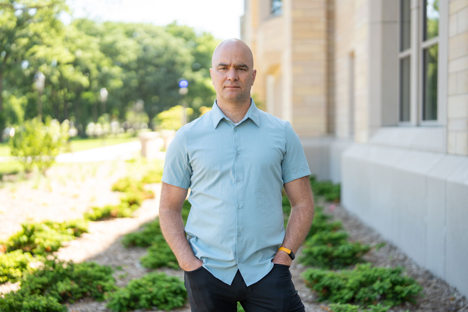
John Abraham, a mechanical engineering professor at the University of St. Thomas, co-authored a new study that helps explain the causes of global sea level rise with greater accuracy than ever before. Featured in multiple national and international outlets, the research provides one of the most complete accounts to date of the factors driving rising seas and offers new insights into how climate change is affecting the world’s oceans.

From The Guardian:
John P. Abraham, professor of engineering at the University of St. Thomas, in Minnesota, and co-author of the research paper, described the U.S. administration’s move to dismantle the $368m OOI system as “penny-wise, pound foolish.”
“The U.S. government wants to save less than a billion in sensors, which are the eyes and ears of the ocean” said Abraham. “We have hundreds of billions in climate costs per year. The cost of the observation system is a fraction of the climate costs from hurricanes and storms that hit the U.S.”

From Discover Magazine:
To better understand the impacts of rising sea levels, scientists must understand the factors driving their rise. A new study, published in Science Advances, has conducted a detailed analysis of the causes of rising sea levels over the last 60 years. Previous studies had found some of the contributors hard to pin down, but the new research may have helped solve this long-standing climate-science mystery.
“For years, there has been a frustrating gap between how much the oceans were observed to be rising and how much we could explain from the individual causes. This work shows that, with better instruments, processes, and smarter analysis, this knowledge gap can be closed. We can explain sea level rise with greater confidence,” said John Abraham, a mechanical engineer at the University of St. Thomas and co-author of the new study, in a statement.

From Science Alert:
The researchers credit advances in data collection technology and analysis methods for being able to properly balance the GMSL. For example, higher-resolution satellite imagery has improved estimates of the extent of glacier melt worldwide.
“Although previous studies closed the GMSL budget, their results diverge owing to different dataset choices,” write the researchers in their published paper.
“The up-to-date community estimates reconcile differences among multiple estimate methods, mitigate the random errors induced by a single source, and reduce the differences from the dataset choice.”

From New Scientist:
“We’re flying blind, and it will end up costing us more,” says John Abraham at the University of St. Thomas in Minnesota.
While the OOI costs $56 million a year to run, the US commercial fishing industry, which relies in part on OOI data, generates billions of dollars each year. Weather and climate disasters did $183 billion of damage in 2024. (The US government discontinued this tally in 2025.)
Without the OOI, fleets won’t know which fishing areas might be less impacted by the coming El Niño, which some models say could be the strongest on record. ...